
Disaster assessment
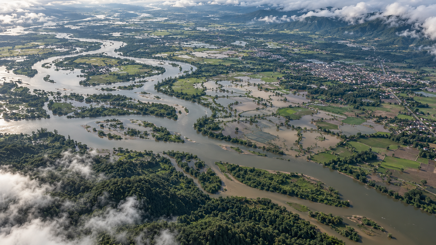
Flood extent, fire-related thermal anomalies and infrastructure-change evidence for response planning.
Complementary observations can support public-sector and enterprise assessment of hazards, assets and environmental conditions. R4 is developing applications around measurable institutional requirements.
Application feasibility depends on spatial scale, revisit opportunities, atmospheric conditions and the quality of reference data.
Flood extent, fire-related thermal anomalies and infrastructure-change evidence for response planning.
Coastal, wetland, forest and land-cover change across comparable observation periods.
Crop-condition indicators, water-related observations and thermal context, subject to resolution and calibration.
Construction progress, land-use change and asset-area observations for engineering assessment.
Thermal anomalies and contextual change around selected industrial facilities and remote infrastructure.
Event verification and geospatial evidence for exposure analysis and claims assessment.
Vessel-observation correlation, potential spill indicators and contextual evidence for maritime authorities.
Airfield observations and available transponder information for contextual situational assessment.
Settlement growth, land-use transitions and surface-temperature patterns for planning analysis.
Radar observations can support flood mapping through cloud cover. Optical imagery can add visual context where atmospheric transmission permits. Thermal and cooperative RF observations may contribute additional information when appropriate to the scene.
This is a proposed analytical scenario, not a report of an operational R4 mission. Infrastructure functionality and route accessibility require additional evidence and, where appropriate, field verification.
Compare relevant radar measurements with a suitable baseline.
Associate available optical, thermal and radio observations with the acquisition window.
Provide extent estimates, supporting observations and limitations for response planning.
Service configurations are proposed development pathways; availability and performance commitments require an agreed scope.
Assess a defined analytical workflow against institutional reference data and acceptance criteria.
Plan repeat acquisitions and change products around priority areas and available mission capacity.
Define time-sensitive evidence requirements and feasible acquisition and delivery pathways.
Specify structured delivery, GIS compatibility and integration into existing enterprise workflows.
Specify the geography, target variables, observation frequency and intended output.
Complementary observations support analysis of land, water, assets and activity.